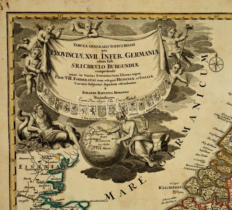
1716 Felső Németország térképe. Johann Baptist Homann: Tabula Generalis Totius Belgii qua Provinciae XVII. Infer. Germaniae comprehensae nune in varias Potentias tum liberas, utpote Prov. VII. Foederatas, tum reliquas Hispaniae et Galliae Coronis subjectas. Színezett rézmetszet. Restaurált. / Map of the Low Countries and Upper-Germany. Colored copper plate engraving Restored. 62x55 cm