https://www99.darabanth.com:443
https://www.darabanth.com/
https://static.darabanth.com/
https://static.darabanth.com/auction/img/
Tételek lista
Number of items: 30
Auction is over! Item soon called at the auction hall
Catalog number ascending
Catalog number descending
Starting price ascending
Starting price descending
12
24
48
72
706530
12406
191
0
2000
Maps
Other collectibles
1
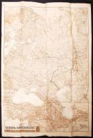
1942 Európai Oroszország, M. Kir. Honvéd Térképészeti Intézet, 92x63cm
The item is not available
Starting price:
2 000 HUF
706561
12407
191
0
1000
Maps
Other collectibles
1
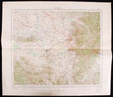
1940 Magyar Királyi Állami Térképészeti Intézet, Belgrád, 1:750 000 méretarányban, 42×50 cm
The item is not available
Starting price:
1 000 HUF
686143
12408
191
0
800
Maps
Other collectibles
1
Haack Weltatlas. Gotha-Leipzig, 1975, VEB Hermann Haack - Geographisch-Kartographische Astalt. Világatlasz kiadói aranyozott egészvászon kötésben (aranyozás kopottas) /
The item is not available
712074
12409
191
0
8000
Maps
Other collectibles
1
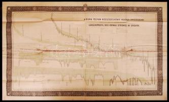
cca 1870 A Duna hosszszelvénye Magyarországban - nagyméretű térkép kőbe vésve a Magyar kir. Államnyomdában. (középen nedvességet kapott) /
The item is not available
Starting price:
8 000 HUF
724729
12410
191
0
1400
Maps
Other collectibles
1
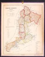
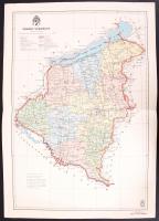
1926 Czakó István: Zemplén vármegye térképe ekemény kartonon 32x40 cm
Starting price:
1 400 HUF
724728
12411
191
0
800
Maps
Other collectibles
1
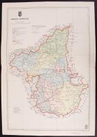
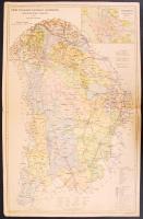
1941 M. kir. Honvéd térképészeti Intézet: Borsod vármegye térképe 57x36 cm 724727
12412
191
0
800
Maps
Other collectibles
1
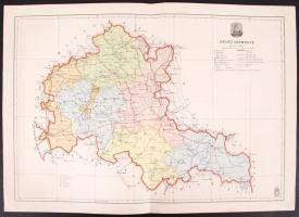
1941 M. kir. Honvéd térképészeti Intézet: Heves vármegye térképe 57x36 cm 713026
12413
191
0
2400
Maps
Other collectibles
1
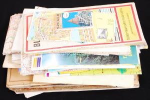
Cipősdoboznyi vegyes térkép, benne turistatérképek, főleg Magyarországról, benne néhány háború előtti atlasz és töredék
The item is not available
Starting price:
2 400 HUF
724724
12414
191
0
800
Maps
Other collectibles
1
1941 Magyar kir. Honvéd térképészeti Intézet: Somogy vármegye térképe 50x36 cm 724726
12415
191
0
800
Maps
Other collectibles
1
1948 Tallián Ferenc: Pest Pilis Solt Kisskun vármegye térképe 57x36 cm 724461
12416
191
0
2000
Maps
Other collectibles
1
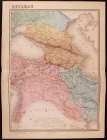
1880 E. Andriveau-Goujon: Török birodalom nagyméretű térképe acélmetszet /
Starting price:
2 000 HUF
724454
12417
191
0
2000
Maps
Other collectibles
1
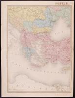
1880 E. Andriveau-Goujon: Kelet-Európa és a Török birodalom nagyméretű térképe acélmetszet /
Starting price:
2 000 HUF
The bids are accepted according to the following bid increments:
up to 1.000 HUF
100 HUF
up to 5.000 HUF
200 HUF
up to 10.000 HUF
500 HUF
up to 20.000 HUF
1.000 HUF
up to 50.000 HUF
2.000 HUF
up to 100.000 HUF
5.000 HUF
up to 200.000 HUF
10.000 HUF
up to 500.000 HUF
20.000 HUF
up to 1.000.000 HUF
50.000 HUF
over 1.000.000 HUF
100.000 HUF
further page navigation Contact
Address:
Mailing Address:
Phone:
Fax:
E-mail
:
icvqw34r5 nf?3+ o@dasdfefg rabanwf34 th.codv4 m
Opening hours
Monday: 12-17
Tuesday-Wednesday: 10-17
Thursday: 10-19
Friday: closed
Weekend: closed
© 2011-2024 Darabanth Philatelic and Numismatic Auctions Co., Ltd.
We use cookies on the Darabanth website to enhance your user experience.
I agree
For details, please click here
https://www.darabanth.com//feltetelek/#privacy_policy
darabanth.com
H
Item added to the basket
Continue shopping
