https://bid-notification.darabanth.com:443
https://www.darabanth.com/
https://static.darabanth.com/
https://static.darabanth.com/auction/img/
Tételek lista
Number of items: 74
Auction is over! Item soon called at the auction hall
Catalog number ascending
Catalog number descending
Starting price ascending
Starting price descending
12
24
48
72
1048742
12844
239
0
1400
Maps
Other collectibles
1
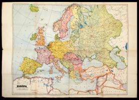
cca 1941 Koch Ferenc: Európa térképe 80x60 cm
The item is not available
Starting price:
1 400 HUF
815487
12845
239
0
2000
Maps
Other collectibles
1
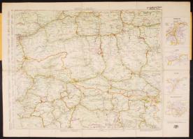
cca 1930 Innsbruck és környéke vászon autóstérkép kiváló állapotban / Asutria canvas automobile map in nice condition
The item is not available
Starting price:
2 000 HUF
870738
12846
239
0
800
Maps
Other collectibles
1
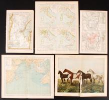
cca 1900 Brockhaus Konversations-Lexikon 14. Auflage Bd. XVII: 12db térképmelléklet /
The item is not available
1095121
12847
239
0
3000
Maps
Other collectibles
1
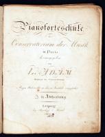
1828 L. Adam: Pianoforteschule kottafüzet + egy kicsit későbbi kotta, Rézmetszetű lapokkal, kissé megviselt / NOtes with etched pages
The item is not available
Starting price:
3 000 HUF
1112015
12848
239
0
800
Maps
Other collectibles
1
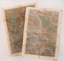
1914-1915 Gyergyószentmiklós és környékének, Troppau és környékének katonai térképe, kiadja a K.u.k. Militärgeographisches Institut, 2 db térkép, 62x44 cm 1113009
12849
239
0
2000
Maps
Other collectibles
1
A kaposvári béruradalom gazdasági vasútjainak átnézeti térképe. Nagyméretű térkép 80x100 cm
Starting price:
2 000 HUF
1111636
12850
239
0
800
Maps
Other collectibles
1
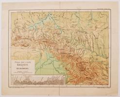
cca 1920 Galicya, Bukowina térkép, 2 oldalas, 1:200,000,kissé szakadt, ed. Hölzla w Wiedniu, 27x33cm 1056591
12851
239
0
14000
Maps
Other collectibles
1
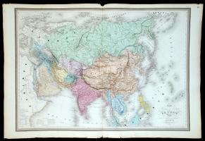
1861 E. Andriveau-Goujon: Ázsia nagyméretű térképe színezett acélmetszet /
Starting price:
14 000 HUF
1056587
12852
239
0
3600
Maps
Other collectibles
1
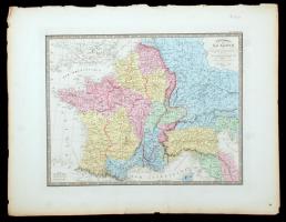
1860 A Német Római birodalom, nagyméretű térkép E. Andriveau-Goujon. Acélmetszet. /
The item is not available
Starting price:
3 600 HUF
1108231
12853
239
0
3600
Maps
Other collectibles
1
1960 North Atlantic Ocean, For the use of boats only: Not to be used for general navigation, published by the Hydrographic Dep. of the Admirality, vászontérkép, 85x80 cm
The item is not available
Starting price:
3 600 HUF
1057197
12854
239
0
3000
Maps
Other collectibles
1
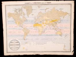
cca 1861 A légköri áramlatok térképe. Acélmetszetű térkép. Andriveau-Goujon. / cca 1860 Etched map of the air currents 55x70 cm
The item is not available
Starting price:
3 000 HUF
1057216
12855
239
0
3000
Maps
Other collectibles
1
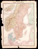
cca 1861 A skandináv államok térképe. Acélmetszetű térkép. Andriveau-Goujon. / cca 1860 Etched map of the Scandinavan states 55x70 cm
The item is not available
Starting price:
3 000 HUF
The bids are accepted according to the following bid increments:
up to 1.000 HUF
100 HUF
up to 5.000 HUF
200 HUF
up to 10.000 HUF
500 HUF
up to 20.000 HUF
1.000 HUF
up to 50.000 HUF
2.000 HUF
up to 100.000 HUF
5.000 HUF
up to 200.000 HUF
10.000 HUF
up to 500.000 HUF
20.000 HUF
up to 1.000.000 HUF
50.000 HUF
over 1.000.000 HUF
100.000 HUF
further page navigation Contact
Address:
Mailing Address:
Phone:
Fax:
E-mail
:
icvqw34r5 nf?3+ o@dasdfefg rabanwf34 th.codv4 m
Opening hours
Monday: 12-17
Tuesday-Wednesday: 10-17
Thursday: 10-19
Friday: closed
Weekend: closed
© 2011-2024 Darabanth Philatelic and Numismatic Auctions Co., Ltd.
We use cookies on the Darabanth website to enhance your user experience.
I agree
For details, please click here
https://www.darabanth.com//feltetelek/#privacy_policy
darabanth.com
H
Item added to the basket
Continue shopping
