https://bid-notification.darabanth.com:443
https://www.darabanth.com/
https://static.darabanth.com/
https://static.darabanth.com/auction/img/
Tételek lista
Number of items: 60
Auction is over! Item soon called at the auction hall
Catalog number ascending
Catalog number descending
Starting price ascending
Starting price descending
12
24
48
72
1224855
12857
253
0
1000
Maps
Other collectibles
1
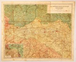
1914 Das Österreichisch-Russische Grenzgebiet(az osztrák-orosz határterület), 1:600000, Druck und Verlag von Carl Flemming, 87x71 cm
Starting price:
1 000 HUF
1212432
12858
253
0
4000
Maps
Other collectibles
1
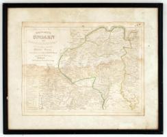
cca 1830 Dr. F. W. Streit: Magyarország északkeleti részének rézmetszetű térképe. Üvegezett keretben. Folttal. 42x34 cm
The item is not available
Starting price:
4 000 HUF
1056595
12859
253
0
5000
Maps
Other collectibles
1
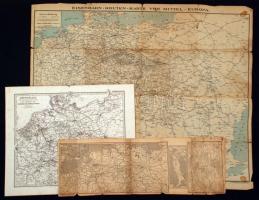
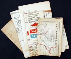
cca 1880-1920 4 db közlekedési térkép, közte Németország gőzhajó térképe / 4 traffic maps
The item is not available
Starting price:
5 000 HUF
1227012
12860
253
0
1400
Maps
Other collectibles
1
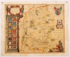
Wiltshire(Anglia) megye térképe, az 1648-as térkép másolata, kopott állapotban, 35x43 cm / Map of Wiltshire, England, modern copy of vintage map, damaged condition, 35x43 cm
The item is not available
Starting price:
1 400 HUF
1175507
12861
253
0
2800
Maps
Other collectibles
1
cca 1900 14 db vegyes lexikon térkép a világból kb 20x30 cm / 14 lexicon maps
The item is not available
Starting price:
2 800 HUF
1056598
12862
253
0
5000
Maps
Other collectibles
1
cca 1890-1960 4 db közlekedési térkép. Busz, vonat, autó / 4 traffic maps
The item is not available
Starting price:
5 000 HUF
1056593
12863
253
0
20000
Maps
Other collectibles
1
1861 E. Andriveau-Goujon: Franciaország nagyméretű térképe színezett acélmetszet / 1861 E. Andriveau-Goujon: Huge etched map of France. 200x140 cm
The item is not available
Starting price:
20 000 HUF
908286
12864
253
0
28000
Maps
Other collectibles
1
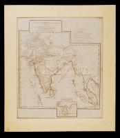
1788 Andor D'Anville: India és távol kelet rézmetszetű térképe / 1788 Map of India and the Far-East etched by J. Harrison 43x48 cm paszpartuban
The item is not available
Starting price:
28 000 HUF
1057197
12865
253
0
3000
Maps
Other collectibles
1
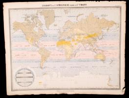
cca 1861 A légköri áramlatok térképe. Acélmetszetű térkép. Andriveau-Goujon. / cca 1860 Etched map of the air currents 55x70 cm
The item is not available
Starting price:
3 000 HUF
1056574
12866
253
0
14000
Maps
Other collectibles
1
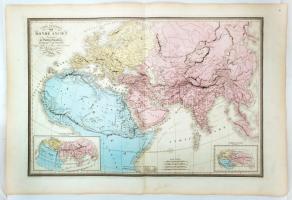
1861 E. Andriveau-Goujon: A régi világ térképe. nagyméretű térkép, acélmetszet / 1861 E. Andriveau-Goujon: Etched map of the World. 100x70 cm
The item is not available
Starting price:
14 000 HUF
874855
12867
253
0
4000
Maps
Other collectibles
1
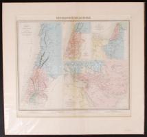
Cca 1880 Szentföld, jelzett francia térkép / Holy land, Palestine map in paspartu 45×34 cm
The item is not available
Starting price:
4 000 HUF
1056586
12868
253
0
12000
Maps
Other collectibles
1
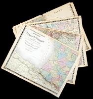
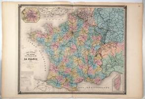
1860 Franciaország vasúthálózata, nagyméretű térkép E. Andriveau-Goujon. Acélmetszet. / 1860 E. Andriveau-Goujon: Etched map of the railway system of France 70x110 cm
The item is not available
Starting price:
12 000 HUF
The bids are accepted according to the following bid increments:
up to 1.000 HUF
100 HUF
up to 5.000 HUF
200 HUF
up to 10.000 HUF
500 HUF
up to 20.000 HUF
1.000 HUF
up to 50.000 HUF
2.000 HUF
up to 100.000 HUF
5.000 HUF
up to 200.000 HUF
10.000 HUF
up to 500.000 HUF
20.000 HUF
up to 1.000.000 HUF
50.000 HUF
over 1.000.000 HUF
100.000 HUF
further page navigation Contact
Address:
Mailing Address:
Phone:
Fax:
E-mail
:
icvqw34r5 nf?3+ o@dasdfefg rabanwf34 th.codv4 m
Opening hours
Monday: 12-17
Tuesday-Wednesday: 10-17
Thursday: 10-19
Friday: closed
Weekend: closed
© 2011-2024 Darabanth Philatelic and Numismatic Auctions Co., Ltd.
We use cookies on the Darabanth website to enhance your user experience.
I agree
For details, please click here
https://www.darabanth.com//feltetelek/#privacy_policy
darabanth.com
H
Item added to the basket
Continue shopping
