https://bid-notification.darabanth.com:443
https://www.darabanth.com/
https://static.darabanth.com/
https://static.darabanth.com/auction/img/
Tételek lista
Number of items: 86
Auction is over! Item soon called at the auction hall
Catalog number ascending
Catalog number descending
Starting price ascending
Starting price descending
12
24
48
72
1631873
12558
303
0
1800
Maps
Other collectibles
1
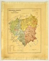
cca 1900-1910 Háromszék vármegye térképe,1:350.000. Magyar Földrajzi Intézet Rt., körbevágva, a széleken szakadással, a széleken ragasztás nyomaival, 33x26 cm. cca 1900-1910 County map of Háromszék, 1:350.000, cut on edges, with tearings, traces, with stickings on the edges, 33x26 cm.
The item is not available
Starting price:
1 800 HUF
1401679
12559
303
0
1000
Maps
Other collectibles
1
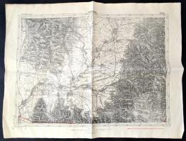
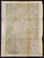
cca 1940 Kovászna térképe, 1:75000, k. k. Militärgeographisches Institut, 39,5×53,5 cm
Starting price:
1 000 HUF
1442380
12560
303
0
1000
Maps
Other collectibles
1
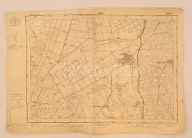
1937 Káld, 1:25000, Magyar Királyi Térképészeti Intézet, 34,5×47 cm
The item is not available
Starting price:
1 000 HUF
1631935
12561
303
0
1600
Maps
Other collectibles
1
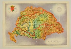
Nagy-Magyarország térképe, modern kiadás, hajtott, 30x44 cm
Starting price:
1 600 HUF
1631733
12562
303
0
1200
Maps
Other collectibles
1
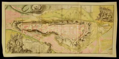
1980 A budai vár egykori térképének modern kiadása, hajtott, ragasztott, 79×45 cm
Starting price:
1 200 HUF
1599938
12563
303
0
4000
Maps
Other collectibles
1
1915 Katonai térképek, összesen 5 db Szombathely, Budapest, Pozsony, Magyaróvár, Budapest Észak (és környéke) katonai térképek. Vegyes állapotban, A. M. Kir. Állami Térképészet, 1:200.000, 62x47cm
The item is not available
Starting price:
4 000 HUF
1504673
12564
303
0
800
Maps
Other collectibles
1
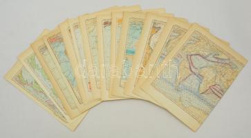
cca 1951 16 db orosz térkép, különféle tematikában (a világ óceánjainak hőmérséklete, stb.), különböző méretben 1601288
12565
303
0
800
Maps
Other collectibles
1
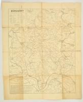
cca 1940 A Börzsöny térképe, kiadja Kókai Lajos, tervezte Szegő István, Klösz Térképészeti Műintézet, szakadással, 80x64 cm 1570800
12566
303
0
800
Maps
Other collectibles
1
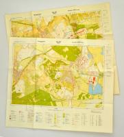
1987 Várpalota és környéke, 2 db térkép, 1:10000, MÉM Földügyi és Térképészeti Hivatal, 60x69 cm 1427531
12567
303
0
1600
Maps
Other collectibles
1
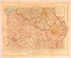
1928 Német képes világatlasz mintatérképe: Északkelet Franciaország 1:1000000 hajtogatva / Das Bild der Erde. Probekarte aus Nordost-Frankreich. 46×58 vm
The item is not available
Starting price:
1 600 HUF
1567173
12568
303
0
800
Maps
Other collectibles
1
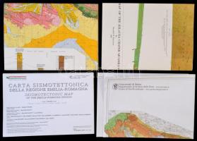
4 db különféle geológiai térkép: Északkelet-Szomália, Emilia-Romagna, Toszkána, Hawaii, különböző léptékben és méretben
The item is not available
1504692
12569
303
0
800
Maps
Other collectibles
1
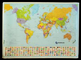
2000 Nagyméretű világtérkép, 1:35000000, Geomedia, 120×86 cm The bids are accepted according to the following bid increments:
up to 1.000 HUF
100 HUF
up to 5.000 HUF
200 HUF
up to 10.000 HUF
500 HUF
up to 20.000 HUF
1.000 HUF
up to 50.000 HUF
2.000 HUF
up to 100.000 HUF
5.000 HUF
up to 200.000 HUF
10.000 HUF
up to 500.000 HUF
20.000 HUF
up to 1.000.000 HUF
50.000 HUF
over 1.000.000 HUF
100.000 HUF
further page navigation Contact
Address:
Mailing Address:
Phone:
Fax:
E-mail
:
icvqw34r5 nf?3+ o@dasdfefg rabanwf34 th.codv4 m
Opening hours
Monday: 12-17
Tuesday-Wednesday: 10-17
Thursday: 10-19
Friday: closed
Weekend: closed
© 2011-2024 Darabanth Philatelic and Numismatic Auctions Co., Ltd.
We use cookies on the Darabanth website to enhance your user experience.
I agree
For details, please click here
https://www.darabanth.com//feltetelek/#privacy_policy
darabanth.com
H
Item added to the basket
Continue shopping
