https://bid-notification.darabanth.com:443
https://www.darabanth.com/
https://static.darabanth.com/
https://static.darabanth.com/auction/img/
Tételek lista
Number of items: 45
Auction is over! Item soon called at the auction hall
Catalog number ascending
Catalog number descending
Starting price ascending
Starting price descending
12
24
48
72
2316940
13195
387
0
1600
Maps
Other collectibles
1
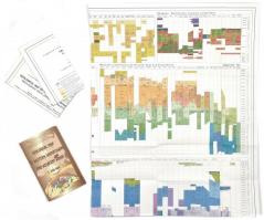
2000 Geological map of Western Carpathians and adjacent areas, 1:500 000, Ministry of the Environment of Slovak Republic
The item is not available
Starting price:
1 600 HUF
2315024
13196
387
0
2000
Maps
Other collectibles
1
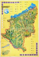
1977 Somogy térképe, rajta a Balatonnal, látnivalókkal. Kaposvár, SIOTOUR, Cartographia-ny., 97x66 cm
The item is not available
Starting price:
2 000 HUF
2315312
13197
387
0
5000
Maps
Other collectibles
1
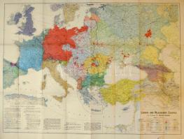
1916 Länder- und Völkerkarte Europas von Professor Dr. Dietrich Schäfer, 1:4.000.000, szakadásokkal, 95x125 cm
Starting price:
5 000 HUF
2321449
13198
387
0
1000
Maps
Other collectibles
1
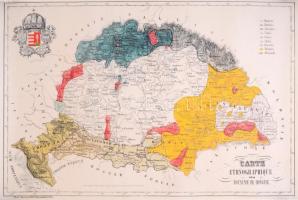
1848 Magyarország etnikai térképe, reprint vászontérkép, 50×73 cm
Starting price:
1 000 HUF
2306616
13199
387
0
1800
Maps
Other collectibles
1
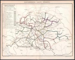
cca 1900 Magyarország vasúti térképe, Pallas Nagy Lexikona, Bp., Pallas, 23,5x31 cm
Starting price:
1 800 HUF
2319933
13200
387
0
2400
Maps
Other collectibles
1
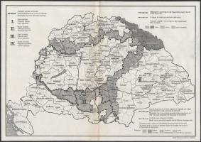
cca 1920 Nemzetiségi alapon követelt területek térképe, Magyar Földrajzi Intézet Rt., hajtott, 24×34 cm
Starting price:
2 400 HUF
2319957
13201
387
0
2400
Maps
Other collectibles
1
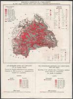
cca 1920 Románok a Kárpátok és a Tisza között, az 1910. magyar statisztika hiteles adatai szerint, térkép kartonra ragasztva, 29,5×22 cm
Starting price:
2 400 HUF
2302638
13202
387
0
5000
Maps
Other collectibles
1
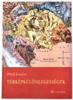
Plihál Katalin: Térképkülönlegességek. Térképetűdök. Bp., 2002, Cartofil. Két térkép-melléklettel. Kiadói kartonált papírkötés.
Starting price:
5 000 HUF
1917120
13203
387
0
2600
Maps
Other collectibles
1
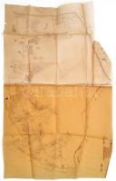
XIX. sz. Tlács, Acsuca, Gyalu Talácsului erdélyi település telkeinek kézzel rajzolt térképe pausz papíron / Hand drawn map of Transylvanian village 78x47 cm
Starting price:
2 600 HUF
1920357
13204
387
0
28000
Maps
Other collectibles
1
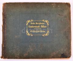
Sohr-Berghaus Universal-Atlas der neueren Erdbeschreibung über alle Theile der Erde in 114 Blättern. Herausgegeben von Dr. K. Sohr und F. Handtke. 5. Auflage. Glogau, 1857. Flemming. Kiadói aranyozott félbőr kötésben, részben hiányos gerinccel, erősen foltos lapokkal / With missing spine. Most of the pages are stained
The item is not available
Starting price:
28 000 HUF
2319135
13205
387
0
1200
Maps
Other collectibles
1
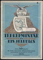
1930 Térképminták és kis jelkulcs, M. Kir. Állami Térképészet, 16p
Starting price:
1 200 HUF
2319924
13206
387
0
1200
Maps
Other collectibles
1
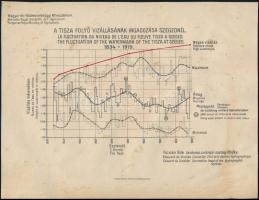
1919 A Tisza folyó vízállásának ingadozása Szegednél, M. Kir. Földművelésügyi Minisztérium, 21×27 cm
Starting price:
1 200 HUF
The bids are accepted according to the following bid increments:
up to 1.000 HUF
100 HUF
up to 5.000 HUF
200 HUF
up to 10.000 HUF
500 HUF
up to 20.000 HUF
1.000 HUF
up to 50.000 HUF
2.000 HUF
up to 100.000 HUF
5.000 HUF
up to 200.000 HUF
10.000 HUF
up to 500.000 HUF
20.000 HUF
up to 1.000.000 HUF
50.000 HUF
over 1.000.000 HUF
100.000 HUF
further page navigation Contact
Address:
Mailing Address:
Phone:
Fax:
E-mail
:
icvqw34r5 nf?3+ o@dasdfefg rabanwf34 th.codv4 m
Opening hours
Monday: 12-17
Tuesday-Wednesday: 10-17
Thursday: 10-19
Friday: closed
Weekend: closed
© 2011-2024 Darabanth Philatelic and Numismatic Auctions Co., Ltd.
We use cookies on the Darabanth website to enhance your user experience.
I agree
For details, please click here
https://www.darabanth.com//feltetelek/#privacy_policy
darabanth.com
H
Item added to the basket
Continue shopping
