https://bid-notification.darabanth.com:443
https://www.darabanth.com/
https://static.darabanth.com/
https://static.darabanth.com/auction/img/
Tételek lista
Number of items: 137
Auction is over! Item soon called at the auction hall
Catalog number ascending
Catalog number descending
Starting price ascending
Starting price descending
12
24
48
72
2764480
15024
436
0
800
Maps
Other collectibles
1
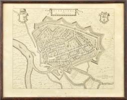
1973 Roermond holland város középkori látképe, reprint térkép, üvegezett keretben, 39x30 cm 2764219
15025
436
0
800
Maps
Other collectibles
1
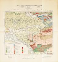
cca 1880-1900 Lóczy Lajos: A Pojana-Ruszka nyugati felének és környékének átnézetes földtani térképe (A magy. kir. földtani intézet évkönyve VIII. köt. XXVIII. tábla). 1 : 200.000. Bp., Grund V.-ny. Színes litográfia. 44x42 cm 2696451
15026
436
0
5000
Maps
Other collectibles
1
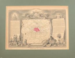
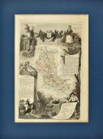
cca 1850 Départment du Seine (Franciaország) megye térképe, Atlas National Illustre, 42x28 cm. paszpartuban/ cca 1850 Map of Départment du Garonne (France), Atlas National Illustre, 42x28 cm
The item is not available
Starting price:
5 000 HUF
2696854
15027
436
0
4000
Maps
Other collectibles
1
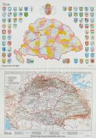
Magyarország a Trianoni Békeszerződés előtt és után 2 db térkép az egyik a vármegyék címereivel. Modern nyomatok. 60x43 cm
The item is not available
Starting price:
4 000 HUF
2696450
15028
436
0
5000
Maps
Other collectibles
1
cca 1850 Départment du Loire (Franciaország) megye térképe, Atlas National Illustre, 42x28 cm. paszpartuban/ cca 1850 Map of Départment du Garonne (France), Atlas National Illustre, 42x28 cm
The item is not available
Starting price:
5 000 HUF
2696710
15029
436
0
3000
Maps
Other collectibles
1
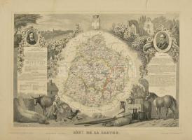
cca 1850 Départment du Sarthe (Franciaország) megye térképe, Atlas National Illustre, nagy beszakadással, 42x28 cm. / cca 1850 Map of Départment du Sarthe (France), Atlas National Illustre, with tear 42x28 cm
The item is not available
Starting price:
3 000 HUF
2800397
15030
436
0
4000
Maps
Other collectibles
1
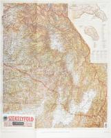
1941 Székelyföld térképe, 1:200 000, REPRINT!, 82×66 cm
The item is not available
Starting price:
4 000 HUF
2727812
15031
436
0
2800
Maps
Other collectibles
1
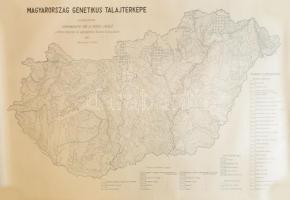
1960 Magyarország genetikus talajtérképe, szerk.: Stefanovits Pál és Szücs László, 1 : 500.000, nagyméretű térkép, feltekerve, 112x78 cm
Starting price:
2 800 HUF
2810619
15032
436
0
2800
Maps
Other collectibles
1
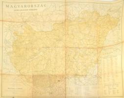
1946 Magyarország közigazgatási térképe. Szerk. és kiadja: Turner István. 1 : 500.000. Bp., Klösz Gy. és Fia, szakadásokkal, 118x84 cm
The item is not available
Starting price:
2 800 HUF
2717752
15033
436
0
3800
Maps
Other collectibles
1
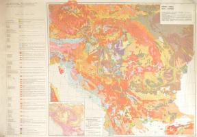
1984 Atlas of the Danubian Countries - Soils / A Duna menti országok talajtérképe, 1 : 2.000.000, nagyméretű térkép, 4 nyelvű jelmagyarázattal, feltekerve, 99,5x68 cm
The item is not available
Starting price:
3 800 HUF
2707805
15034
436
0
1400
Maps
Other collectibles
1
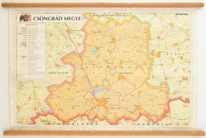
Csongrád megye falra akasztható térképe 65x50 cm
Starting price:
1 400 HUF
2807063
15035
436
0
3000
Maps
Other collectibles
1
The item is not available
Starting price:
3 000 HUF
The bids are accepted according to the following bid increments:
up to 1.000 HUF
100 HUF
up to 5.000 HUF
200 HUF
up to 10.000 HUF
500 HUF
up to 20.000 HUF
1.000 HUF
up to 50.000 HUF
2.000 HUF
up to 100.000 HUF
5.000 HUF
up to 200.000 HUF
10.000 HUF
up to 500.000 HUF
20.000 HUF
up to 1.000.000 HUF
50.000 HUF
over 1.000.000 HUF
100.000 HUF
further page navigation Contact
Address:
Mailing Address:
Phone:
Fax:
E-mail
:
icvqw34r5 nf?3+ o@dasdfefg rabanwf34 th.codv4 m
Opening hours
Monday: 12-17
Tuesday-Wednesday: 10-17
Thursday: 10-19
Friday: closed
Weekend: closed
© 2011-2024 Darabanth Philatelic and Numismatic Auctions Co., Ltd.
We use cookies on the Darabanth website to enhance your user experience.
I agree
For details, please click here
https://www.darabanth.com//feltetelek/#privacy_policy
darabanth.com
H
Item added to the basket
Continue shopping
